
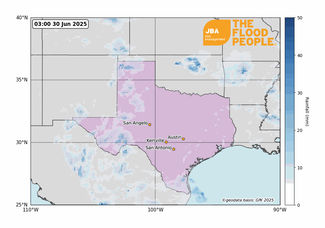
Disastrous flooding overwhelms Texas’s Flash Flood Alley
Between 4 and 6 July 2025, Central Texas experienced catastrophic flash flooding, primarily impacting Kerr County and the surrounding Hill Country region. Triggered by intense rainfall from a stalled storm system augmented by the remnants of Tropical Storm Barry, the Guadalupe River rose to 26 feet in just 45 minutes, resulting in widespread devastation. The floods claimed at least 120 lives, with over 161 individuals still reported missing as of July 11 (Guardian, 2025). The disaster's epicenter was Camp Mystic, a summer camp near Hunt, where 27 campers and counselors tragically lost their lives, and several others remain missing.
Impact summary
The July 2025 flood event had devastating and far-reaching impacts across Central Texas, particularly in Kerr County and the surrounding Hill Country. The sudden onset of flooding caught many communities off guard, resulting in a tragic human toll. More than a hundred people lost their lives, including 28 children, making it one of the deadliest flood events in the United States in the past century. The majority of fatalities occurred in Kerr County, where 75 deaths were confirmed (AP News, 2025). Over 40 individuals remain unaccounted for, and hundreds more were injured or displaced.
One of the most catastrophic incidents occurred at Camp Mystic, a girls’ summer camp near Hunt in Kerr County, situated along the banks of the Guadalupe River. A surge of floodwater swept through the camp in the early morning hours of 4 July, destroying cabins and infrastructure. At least 27 campers and staff members died, and others were reported missing. The scale of loss at Camp Mystic became emblematic of the wider tragedy and drew national attention to the vulnerability of riverside facilities in flood-prone areas.
Emergency services were stretched to their limits, with more than 850 people rescued, including over 100 airlifted from remote or inundated areas. The speed at which the river rose and the lack of sufficient warning systems significantly hampered response times. Hundreds of homes and businesses were damaged or destroyed, and critical infrastructure, including roads, bridges, and power lines, was severely affected.
Preliminary damage assessments estimated economic losses between $18 and $22 billion (AccuWeather, 2025), encompassing residential property, public infrastructure, agriculture, and commercial assets. Floodwaters contaminated water supplies and damaged wastewater systems, raising public health concerns. Schools, clinics, and community centers sustained damage, delaying recovery and adding to the social impact of the disaster.
Meteorological and hydrological drivers
The catastrophic flooding across Central Texas between 4 and 6 July 2025 was driven by a convergence of tropical and mesoscale weather systems that delivered intense and prolonged rainfall over an already flood-prone region. This part of Texas, often referred to as "Flash Flood Alley," is particularly susceptible to rapid runoff due to its steep terrain, shallow soils, and narrow river valleys. During the early hours of 4 July, a mesoscale convective system developed over the Texas Hill Country (Yale Climate Connections, 2025). This system was fueled by a deep layer of tropical moisture transported inland by the remnants of Tropical Storm Barry, which had moved northward after making landfall on the Gulf Coast (Weather Channel, 2025). A stationary frontal boundary positioned over Central Texas acted as a focus for this moisture convergence, sustaining a band of intense, slow-moving thunderstorms.
These storms exhibited training behavior, where successive storm cells passed repeatedly over the same areas, leading to high rainfall accumulations. Rainfall totals exceeded 516 mm (20.33 inches) in some localized areas northwest of Streeter (Watchers, 2025), while widespread totals of 130 to 280 mm (5 to 11 inches) fell within 6 to 12 hours. Several locations recorded over 250 mm (10 inches) in less than 6 hours, easily surpassing flash flood thresholds. Radar and satellite imagery indicated strong convection with persistent lightning and very high cloud tops, typical of tropical-enhanced storm systems.
This rainfall led to a rapid and extreme hydrological response. The Guadalupe River and its tributaries surged dramatically, with river levels rising by over 8 meters (26 feet) to 11.43 meters (37.52 feet) in just 45 minutes near Hunt, exceeding the 1932 record of 11.15 meters (36.6 feet) (USGS, 2025). At Comfort, the river crested at 8.94 meters, nearly matching the historic 1987 flood peak. The saturated soils and steep catchments further contributed to extremely efficient runoff and fast-rising waters.

JBA has conducted an Extreme Value Analysis of river levels using a Peaks-Over-Threshold (POT) method with a Generalized Pareto Distribution (GPD), based on daily streamflow observations from the USGS gauge on the Guadalupe River near Kerrville, Texas (Figure 3). This analysis provides insight into the statistical rarity of extreme flood events in the region. The estimated 100-year return level at this site is 10.45 meters (34.3 feet). During the July 2025 event, observed river levels at nearby Hunt surged to 11.43 meters (37.5 feet), significantly exceeding the 100-year benchmark. The return level curve and associated confidence intervals illustrate the extraordinary nature of this flood, underscoring the vulnerability of the Hill Country to extreme hydrological responses under intense rainfall conditions.

Although meteorological forecasts had highlighted the potential for heavy rainfall, they did not fully anticipate the storm’s intensity or stalling over specific catchments. Flash flood warnings were issued, but the pace of the event left little time for emergency response, especially in vulnerable locations such as rural communities and summer camps. This event highlights the challenges of forecasting convective flood events and the growing risk posed by tropical-enhanced rainfall systems under a changing climate.
Flash flood vulnerability in Central Texas
“Flash Flood Alley” is a colloquial term used to describe a region of Central and South Texas that is exceptionally prone to rapid-onset flooding. Stretching roughly from Del Rio through San Antonio to Austin and Dallas, this area is widely recognized as one of the most flash flood-vulnerable regions in the United States.

The risk is driven by a combination of meteorological, topographical, and hydrological factors. The region frequently experiences high-intensity rainfall events, particularly during spring and early summer, when moist air from the Gulf of Mexico interacts with frontal boundaries or tropical systems. These interactions can trigger slow-moving or training thunderstorms, capable of producing large volumes of rain in short periods. Topographically, Flash Flood Alley is defined by steep hills, shallow soils, and rapidly responding river systems. Rainfall in this landscape flows quickly into creeks and rivers, with little time to infiltrate or dissipate, leading to sudden and extreme rises in water levels. Urban expansion, particularly around cities like Austin and San Antonio, has further increased flood risk due to increased impermeable surfaces and development in floodplains.
Historically, the region has seen multiple deadly flood events, including the 1921 San Antonio flood, the 1987 Guadalupe River tragedy, and the 2015 Blanco River flood. In recent decades, climate trends suggest that rainfall events are becoming more intense, compounding existing risks.

Climate change context
A rapid attribution analysis by ClimaMeter (2025) assessed the potential influence of anthropogenic climate change on the July 2025 Central Texas floods. The study compared recent climatic conditions (1987–2023) with a historical baseline (1950–1986), focusing on the Texas Hill Country region. The analysis found that events of similar magnitude are now approximately 2 mm/day wetter than in the past, representing an estimated 7% increase in rainfall intensity. This change is consistent with a warming atmosphere’s ability to hold and release more moisture, thereby amplifying extreme precipitation events.
ClimaMeter concluded that natural variability alone does not explain the observed increase and that climate change has likely played a role in intensifying the rainfall that contributed to the July 2025 floods. These findings align with broader scientific consensus indicating a growing frequency and severity of flash flood events in the southern United States due to anthropogenic warming.
JBA Risk Management provides detailed flood hazard, risk and event response intelligence to support insurers and governments in understanding and responding to events like the July 2025 Texas floods. Our global flood maps and probabilistic models, including JBA’s high resolution US inland flood model offer robust insight for both pre-event planning and post-event analysis. Register your interest below to learn more about the US model.


