
Major flooding in Ireland after Storm Chandra
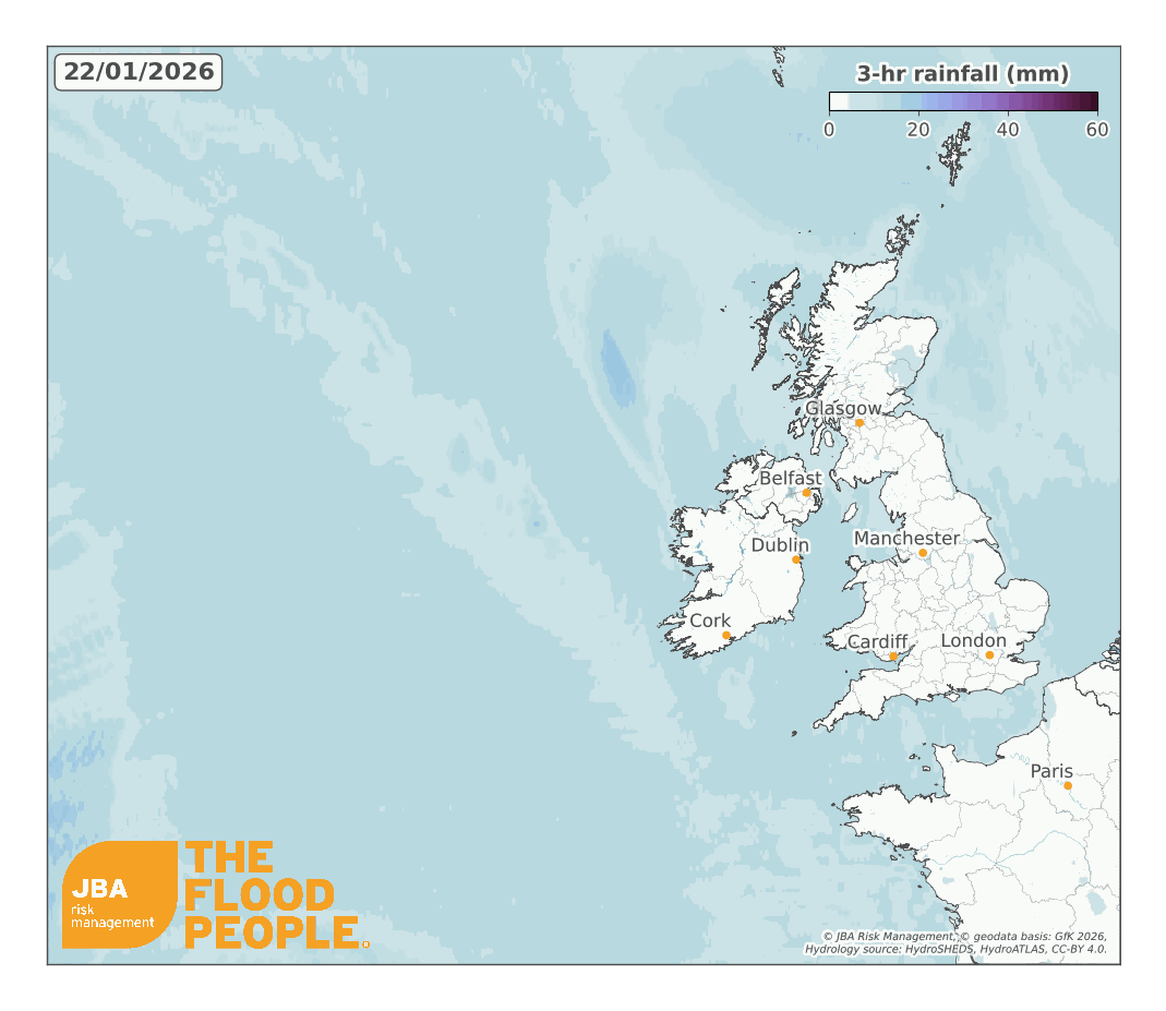
Storm Chandra delivered one of Ireland's most significant winter flood events in recent years, resulting in widespread damage and disruption across multiple regions of Ireland. Between 26-27 January 2026, prolonged and intense rainfall associated with a deep Atlantic-low pressure system produced rainfall totals in excess of 50 mm across large parts of the country, and up to 100mm was recorded in upland areas.
The rainfall overwhelmed river systems causing the Dodder (Dublin) and Slaney (Wexford) to burst their banks and led to widespread surface water flooding. Flood waters inundated homes, businesses and critical infrastructure across Dublin, Wicklow and Wexford, causing widespread transport disruption, power outages and business interruption.
With flooding concentrated in densely populated areas - combined with record river-level exceedances - this event demonstrates the evolving flood risk and vulnerability to increasingly severe climate change-driven storm events in Ireland.
Overview and timeline
During the evening of 26 January 2026, Storm Chandra approached the south coast of Ireland as part of a sequence of late-January Atlantic low-pressure systems (Met Office, 2026). The storm delivered strengthening winds alongside the wave of heavy rainfall, adding cumulative rain onto already saturated catchments following successive winter storms earlier in the month.
Antecedent ground conditions significantly reduced infiltration capacity across river basins and urban drainage networks, increasing the extent and severity of flooding.
As the storm tracked northwards overnight, bands of persistent frontal rain became established across large parts of the country (Met Éireann, 2026). Forecast models indicated the system would stall and rotate additional rainfall back across eastern and southern counties.
Early surface water flooding was reported on local roads and low-lying urban areas, with authorities issuing weather warnings and advising against non-essential travel as river levels continued to rise.
The most severe impacts occurred on 27 January as prolonged and intense rainfall triggered river overtopping and drainage system exceedance across eastern and southeastern Ireland. Counties Dublin, Wicklow and Wexford experienced the most significant flooding, with rivers including the Dodder and Slaney breaching their banks and inundating surrounding residential, commercial and transport infrastructure (Wilson et al., 2026).
Local media reported streets in parts of Enniscorthy, Rathfarnham and Nutgrove submerged under floodwaters, with properties, retail premises and community facilities damaged (RTÉ, 2026).
Emergency services conducted flood rescues in several affected communities, while tens of thousands of homes, farms and businesses experienced electricity outages due to wind-related infrastructure damage and inundated power assets (White & Wilson, 2026).
Major transport disruption was recorded, including submerged road networks, rail service suspensions and approximately 20 flight cancellations at Dublin Airport, primarily affecting regional aircraft operations (White & Wilson, 2026; Osborne, 2026). Bus routes and commuter corridors across the Greater Dublin Area experienced severe delays, highlighting the storm's impact on densely populated areas.
Following the storm's passage, further heavy rainfall warnings remained in place across Northern Ireland and along eastern coastal areas, including amber rainfall alerts and danger-to-life advisories (Maguire, 2026). Floodwaters persisted in several communities due to slow river recession and saturated drainage infrastructure, prolonging access restrictions and delaying recovery operations.
Hundreds of schools across Northern Ireland remained closed due to safety concerns, while road and rail speed restrictions continued as authorities assessed infrastructure damage and cleared debris (McBride, 2026).
National impacts and industry response
Storm Chandra resulted in more than 1,000 weather-related incidents recorded nationally, including 600 flooding reports and 360 road obstructions (Department for Infrastructure, 2026; McBride, 2026). Response and recovery efforts led by local authorities included: clearing drainage systems, removing fallen trees, pumping floodwaters, and erecting temporary flood barriers to protect at-risk areas. Sub-zero conditions further complicated response efforts, requiring targeted gritting across affected regions.
Across the country, businesses and households experienced varying levels of impact. According to RTÉ (2026), dozens of homes and businesses in Wexford, Dublin and Wicklow were affected by significant flooding, with some residents evacuated and commercial properties forced to close due to rising water levels.
Additional national coverage indicated that 20,000 homes, businesses and farms lost electricity at the peak of the storm. From an industry perspective, supply chains were interrupted due to localised flooding and safety concerns related to high-sided vehicles exposed to strong winds.
Government response included the activation of the ‘Business and Community Support Scheme,’ providing immediate aid for affected organisations; this was in addition to the Emergency Humanitarian Flooding Scheme, providing support of up to €20,000 (Department of Enterprise, Tourism and Employment, 2026; Emergency Services Ireland, 2026; O’Sullivan, 2026).
Emergency Response Payments were also made available by the Department of Social Protection for households facing essential repair costs (Citizens Information, 2026). The Homeowner Flood Protection Grant Scheme is available to eligible households across Ireland, which funds resilience measures such as flood-resistant doors, non-return valves, and airbrick covers (Department for Infrastructure, n.d.).
In the days following the event, damage assessments were undertaken across areas affected by prolonged inundation. Early reporting suggests that disruption to transport networks, power supply and accessibility to commercial premises generated substantial indirect losses alongside physical damages to stock and infrastructure.
As such, businesses may need to review continuity planning assumptions, including alternative transport arrangements, remote working resilience, and contingency supply chain strategies (Sandyford, 2026). This has triggered renewed national debate regarding the adequacy of existing flood defences, early warning communication and long-term climate resilience planning across Ireland (Wilson & McGreevy, 2026; Irish Independent, 2026; Ireland Live, 2026).
Nationwide economic loss estimates for Storm Chandra are not yet available; however, the estimated average annual cost of inland (river and surface water) flooding reported by the Central Bank of Ireland (2024) is approximately €101 million, with severe losses estimated to be much higher, with a €510 million loss expected once every 25 years.
Given that Storm Chandra was part of a sequence of successive storm events, the cumulative impact of repeated flooding will likely result in extensive losses and highlight the need for climate-adaptive flood resilience and risk mitigation strategies.
Historic flood sequences and antecedent conditions
Winter flooding in Ireland is often associated with sequences of Atlantic storm systems, where successive rainfall events increase soil moisture and reduce catchment capacity. The 2015-2016 winter provides a clear example of this pattern.
In early December 2015, Storm Desmond brought long‑duration rainfall that rapidly saturated catchments across western and southern counties, causing widespread flooding, transport disruption, and early agricultural and property losses (RTÉ, 2025).
This was followed by Storm Eva between 20-22 December 2015, an incoming low‑pressure system officially named on 22 December that delivered further heavy rainfall near Christmas, contributing to localised flooding, travel delays, and pressure on emergency response systems (Met Office, 2015; RTÉ, 2025).
By 30 December, when Storm Frank tracked across Ireland, catchments were already saturated. Frank brought intense rainfall and strong winds, resulting in severe flooding across Cork, Kerry and the southeast, with widespread property damage, major road closures, and extensive agricultural impacts (HEPEX, 2016; Elm Landscaping, 2025).

A similar multi‑storm pattern developed during the 2025-2026 winter. In early January 2026, Storm Goretti contributed to frequent rainfall and unsettled conditions, increasing soil moisture levels (Armagh Observatory, 2026), although no major impacts were reported. This was followed by Storm Ingrid in mid to late‑January, bringing further wet and windy weather immediately prior to Storm Chandra.
In addition to these named storms, repeated Atlantic low‑pressure systems made January 2026 the wettest January in Northern Ireland in 149 years, indicating persistent and widespread rainfall across the wider region (Met Office, 2026).
These antecedent conditions reduced hydrological storage capacity and elevated river baseflows before the arrival of Storm Chandra (26-29 January 2026), which brought heavy rainfall and strong winds to eastern and southern counties.
Chandra resulted in flooding of homes and businesses in Dublin, Wicklow and Wexford and caused significant commuter and transport disruption (RTÉ, 2026; Met Éireann, 2026).

The hydrological response during Storm Chandra was shaped by this sequence of prior events. Extreme Value Analysis undertaken by JBA shows that river levels on the Slaney at Enniscorthy in County Wexford (station 12002, OPW 2026) reached 4.67m, corresponding to an estimated 30‑year return period, with surrounding gauges on the River Slaney indicating a consistent 25-40‑year range.
This peak from 27 January 2026 exceeded the previous maximum of 4.52m, recorded during Storm Frank. On the River Barrow at Graiguenamanagh in County Kilkenny (station 14029, OPW 2026), peak discharge reached 304 m³/s from 30 January 2026, corresponding to an estimated 20‑year return period, second only to the 367 m³/s recorded during Storm Frank.
These outcomes demonstrate that the magnitude of flooding during Storm Chandra was driven not only by the storm itself but also by the cumulative hydrological loading from preceding systems.
In both the historic and modern sequences, it is the cumulative effect of multiple storms, rather than a single event alone, that drives Ireland’s most consequential winter flooding.
Climate change
Research increasingly suggests that climate change is contributing to more frequent and intense winter rainfall events across Ireland and the UK (Kew et al., 2024; Manning et al., 2024; Met Office, 2024; The Journal, 2026). Storm Chandra is a practical example of the growing trend of sequential high-intensity rainfall events driving both river and surface water flooding.
The storm delivered record or near-record river levels and widespread surface water flooding, exposing limitations within existing flood defence infrastructure and urban drainage capacity, and demonstrating how prolonged rain falling on already saturated ground can rapidly overwhelm both natural catchments and engineered drainage systems.
For residential communities, this translates to increased disruption, property damage and displacement risk, while for organisations, it reinforces the need to integrate climate-adjusted hazard modelling, long-term adaptation strategies and resilience investment into risk management and asset planning frameworks.
JBA has national 5m resolution river, surface water and coastal storm surge flood hazard maps for Ireland. For more information about our maps and how they can help you manage your exposure to flooding in the country, please get in touch.
This report is accompanied by a flood footprint for the event, detailing extents and depths of the flooding in areas affected. Download it via our Client Portal or request a copy by emailing eventresponse@jbarisk.com.


