
January 2023 saw flooding in several Malaysian states after heavy rain
Heavy rain has battered Malaysia, resulting in flooding which has caused severe damage and displacement. The most-affected states include Johor, Sabah, and Pahang (ReliefWeb, 2023a). Tens of thousands of people had to flee their homes due to the flooding. The Malaysian Government seem to be committed to addressing the country’s flood problem as the Deputy Prime Minister and Central Disaster Management Committee Chairman, Ahmad Hamidi, called for long-term flood management measures, including holistic flood mitigation projects (CNA, 2023).
Event Overview
Floods in Malaysia are a natural phenomenon due to the north-east monsoon that brings substantial rain from November to March (CNA, 2023). There is a long history of severe flood events in the country, with 38 flood-related natural disasters recorded in the 20 years 1998-2018. More information on this topic and on an innovative scheme to alleviate flood damage in the country can be found in our blog Kuala Lumpur: A Model of Resistance.
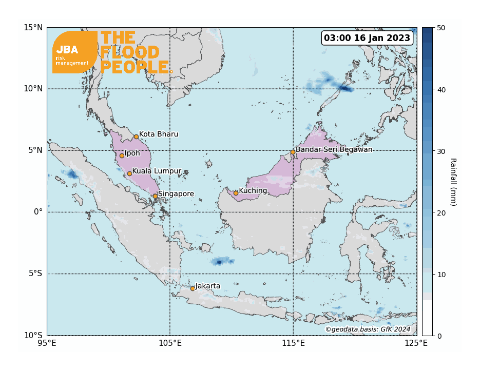
In the most recent event, both the peninsular areas and the regions of Borneo Island saw extreme rainfall and widespread flooding, starting on 24 January 2023 (ReliefWeb, 2023a). Affected areas include Batu Pahat, Kota Tinggi, Kluang, Lahad Datu, Pitas, Mersing, Rompin, and Segamat (ReliefWeb, 2023b).
As of 26 January, according to Malaysia’s Department of Irrigation and Drainage figures, Segamat and Mersing in Johor received 344mm and 432mm of rainfall respectively - and rivers in at least five locations were above the danger mark (FloodList, 2023). Due to flooded roads, the Jalan Kota Tinggi-Mersing route was closed at KM60 to light vehicles since noon, on 25 January - and in addition to patrolling, the authorities were also involved in sending food aid to nearby residents (Malay Mail, 2023a).
By 30 January, 31 relief centres were operational in Johor state, sheltering more than 2,500 displaced people (Malay Mail, 2023b). This was in addition to the 21 shelters opened in Sagamat, 26 in Sabat and smaller numbers in other states. Numbers vary, but at the height of the floods the number of people forced from their homes is thought to have been over 10,000 (Malaysia Now, 2023).
With the stagnant water situation, residents of Sri Medan are worried that their palm oil plantations will be affected as this is their main source of income. A resident, Mahadi Misnon, said a situation like this last occurred 18 years ago (Malay Mail, 2023c). To better handle the situation and provide help in flood rescue operations, the Johor police have deployed 60% of their force (The Star, 2023a).
Malaysia Flood Maps
JBA license comprehensive flood maps at 30m resolution for both river (fluvial) and surface water (pluvial) flood hazard across Malaysia, which show flood extents and depths at return periods of 20, 50, 100, 200, 500 and 1,500 years.
The village of Kampung Seberang Batu Badak in Segamat District (Johor State) flooded when heavy rainfall caused the nearby Segamat River to overflow (The Star, 2023b). Figure 2 (left panel) shows JBA’s 30m river flood map at a return period of 20 years at this location.
We also conducted Extreme Value Analysis on historic rainfall data in order to estimate the return period of the event in the town of Beluran (Sabah State). We fit an exponential distribution to a 44-year daily rainfall climate data timeseries from NOAA (2023) to produce a rainfall exceedance probability curve at this location. With over 200mm of rainfall recorded in a single day (FloodList, 2023), this suggests around a 1-in-200-year rainfall event in the town. Figure 2 (right panel) shows JBA’s surface water flood map at a return period of 200 years at Beluran.

Conclusion
It’s vital that organisations act now in response to flood risk. We offer flood mapping and probabilistic flood modelling worldwide, including for Malaysia and other countries in South-east Asia, which provides flood risk insights at any location globally. This can help re/insurers, financial organisations, and the International Development sector to better understand and manage flood risk.
To find out more about our flood data and how it can help you, get in touch with the team.
This report is covered by JBA’s website terms – please read them here.


